
The calculator that shows how much each tree is worth
The calculator that shows how much each tree is worth
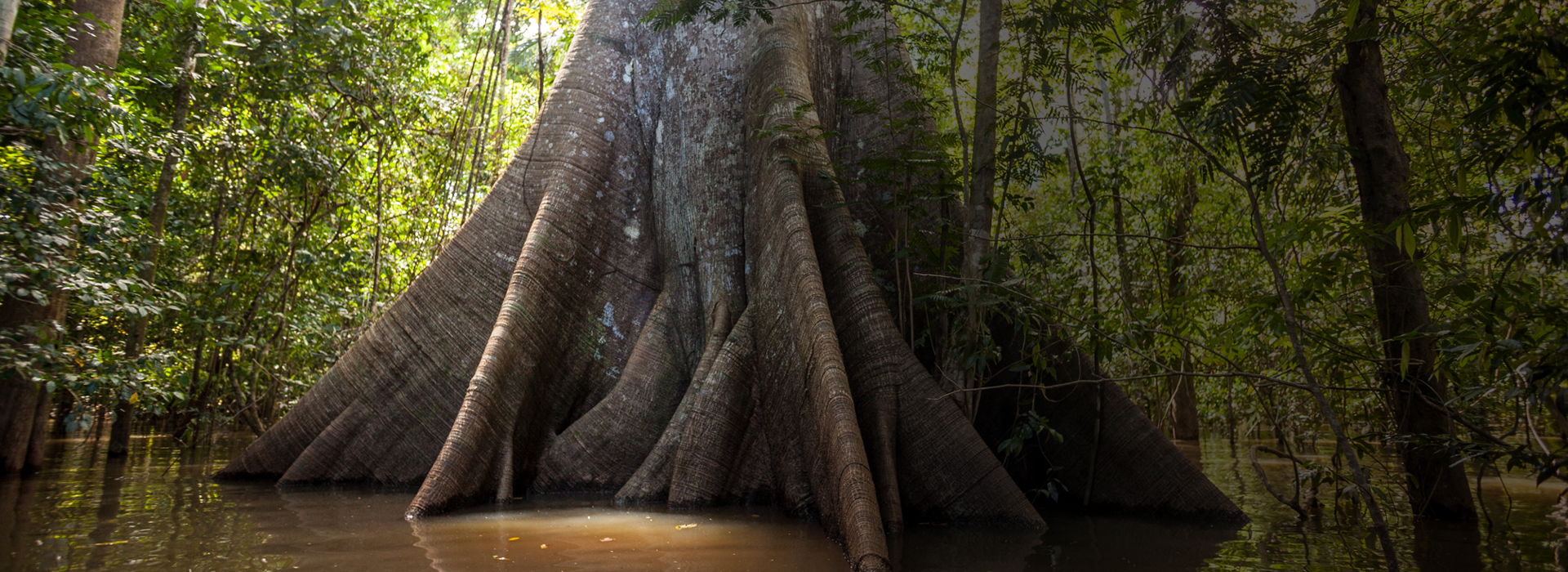
In February 2023, Judge Mara Elisa Andrade, head of the Seventh Federal Environmental and Agrarian Court of Amazonas, rejected the request made by farmer Dauro Parreira de Rezende, a defendant in a deforestation case, who asked that the amount of the fine imposed on him be recalculated. Accused of illegally deforesting 2,400 hectares in an agro-extractive settlement project in the south of the state, he was fined R$ 63.5 million. Most of the amount (R$ 44.7 million) was based on a calculation made by the Federal Prosecution Office to collect the climate damage caused by the carbon dioxide emissions of this deforestation.
It was the first time that Brazilian justice had sentenced someone taking into account not only the deforested area itself but also the impact caused to the climate. To arrive at the amount of the fine, a tool was essential: the Carbon Calculator (CCAL), which was developed by the Amazon Environmental Research Institute (Ipam).
The action had great legal value, because it opened the door for a reinterpretation of environmental civil liability in Brazil. With the CCAL, prosecutors can scientifically assess the damage caused by land grabbing and illegal deforestation.
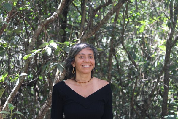
“In addition to its applicability in the calculations of environmental fines, the idea for developing the CCAL was to facilitate the work of government agents to verify whether the information that reached them about carbon projects was true or not. It also helps the states to monitor their performance in policies for the reduction of emissions,” explains Ane Alencar, director of Science at Ipam and the creator of the CCAL, which had iCS among its supporters.
An expert in understanding the impacts of forest fragmentation, Alencar coordinates initiatives by Ipam to develop systems to monitor deforestation in order to support REDD (Reducing Emissions from Deforestation and Forest Degradation) projects
The calculator, launched in 2016, was updated to a more robust version in 2024, with more detailed data and information from all 27 federative units of the country. The tool offers a series of information about a given area, with estimates of the gains and losses of the carbon stock and the released and avoided emissions on scales that can measure both entire states and private properties.
How the Carbon Calculator works
The CCAL combines a vast set of data, such as maps of forest cover, temperature, amount of rainfall, soil types, biomass, areas under forest regeneration and age of the regeneration. To obtain the information, simply navigate through the map of the tool and highlight the desired area. “For example, we can take an area in Mato Grosso that was a park and know the quantity of emissions there since it stopped being protected,” explains Alencar. “It is a versatile tool. If you want to make calculations for a farm, just create a user profile and upload the data, which is then saved in the profile.”
The user can “draw” freehand or form polygons in order to highlight the desired area. It is also possible to filter the data by biome, state, municipality and categories such as Conservation Units, Indigenous Lands, and rural properties, among others. For example, in Boca do Acre, the city where Rezende was sentenced for illegal deforestation, the calculator reports that the loss of native vegetation jumped from 3,300 hectares in 2013 to 17,900 in 2022.
It is also possible to monitor the “other side.” The calculator shows reforestation actions, to check whether they are bringing the expected benefits in the reduction of emissions.
In this regard, the main results concern carbon stocks, the potential of forest regeneration and avoided carbon emissions. Taking again the municipality of Boca do Acre as an example, there are 286 million tons of carbon stored in the native vegetation (more than the entire state of Rio de Janeiro, for example). It is also possible to project future scenarios. With a hypothetical target of a 20% reduction in deforestation in the municipality, the tool indicates that there would be an avoided emission of 480,000 tons of carbon gas by 2030.
All the information is presented in easy-to-interpret reports and graphs. “The intention of Ipam is to continue to develop tools like this one, which facilitate the access to geospatial data and its interpretation to help the work of decision makers,” says Alencar. The coldness and accuracy of the numbers, curves, and bar graphs transform into life, into sap, and into the cost of a felled tree – and point out the value that keeping the tree standing signifies.