
The Arayara Institute has launched a platform that monitors the impacts of the fossil fuel industry on marine ecosystems
The Arayara Institute has launched a platform that monitors the impacts of the fossil fuel industry on marine ecosystems
The analysis identifies the points of overlap of projects by the oil and gas industry in sensitive areas of the Brazilian coastal-marine system
The Arayara International Institute has launched a new environmental mapping platform: Ocean Monitor. This is an innovative and interactive tool developed with the objective of preserving marine ecosystems from the potential impacts of the fossil fuel industry.
The new system adds to the Oil-Free Amazon Monitor, launched in 2023, which monitors the situation of the oil and gas sector in the region, providing a comprehensive view of the threats and possible solutions for its preservation.
Using geospatial data from local governmental sources, the Ocean Monitor maps how projects of the fossil fuel industry have an impact on the coastal and marine areas of Brazil. It offers an interactive interface where users can apply filters and explore the data through automatically updated maps and graphs. The platform facilitates the visualization of the interactions between the geospatial and statistical data, allowing for an in-depth and intuitive analysis of the impacts of the oil and gas exploration, which place the survival of important conservation areas at risk.
Launched in the month that marks five years since the largest oil spill in Brazil’s history, when a crude oil leak affected 130 municipalities in 11 states along the Brazilian coast, (those responsible have yet to be duly punished), the monitor points out that the risks continue to be high. According to the mapping, sensitive areas of the Brazilian coastal-marine system have been identified that are being overlapped by projects of the oil and gas industry.
The diverse data generated and made available by the tool, whose work is supported by iCS, show that, for example, 37 Conservation Units are directly or indirectly threatened by 167 areas of oil exploration – areas that are, in theory, protected by the Coastal and Marine System, which attract ecotourism and generate income for the local communities.
The analysis also identified the overlap of the fossil fuel industries in an area that corresponds to the National Action Plan for the Conservation of Coral Environments (PAN Corais): 99,000 km², which is equivalent to the size of the state of Pernambuco and corresponds to 19% of the PAN Corais, being overlapped by projects of gas exploration and production. It is worth emphasizing that the Plan includes 52 endangered species that depend on the coral reefs in order to survive. Among the regions in which overlaps were identified, are some considered to be national treasures, such as the Island of Fernando de Noronha and the Banco dos Abrolhos, in addition to the Great Amazon Reef System.
However, the tool points out that an important area of the fossil fuel industry projects can still be reversed, because they are in the supply and study phases. The analysis also presented solutions in the areas of regulation, planning, operation and economic criteria in order to improve the effectiveness of the policies and practices, and the promotion of sustainable energy transition. On the Ocean Monitor platform, it is possible to sign a petition for the preservation of the oceans and the climate.
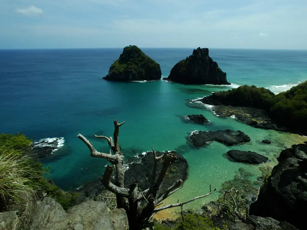
The Island of Fernando de Noronha is identified by the tool as an area with overlap. Credit: Archive/Agência Brasil